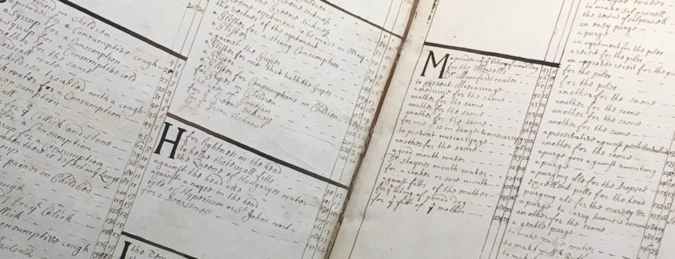
This engaging digital exhibit combines custom interactive maps and 17th-century cookbooks to visualize the relationship between food and empire that fueled the rapid expansion of global trade, expansion, exploration, and extraction in the early modern era. It achieves this by plotting the ingredients used in early modern English cookbooks on historical maps, enabling users to journey through the process of how food and foodways shaped contemporary conceptions of space and place (as well as the New York Public Library’s Whitney collection). The exhibit’s user-friendly interactive features are accompanied by multimedia and brief essays exploring how these cookbooks’ written contents, bibliographical history, and physical and social uses display their makers’ participation in the globalization processes that characterized the early modern period.
