Tag: historical maps
Using Interactive Maps to Visualize the Relationship between Food and Empire in the Early Modern Era
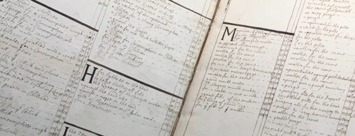
This engaging digital exhibit combines custom interactive maps with 17th-century cookbooks to communicate the concrete relationship between food and empire that fueled the rapid expansion of global trade, expansion, exploration, and extraction in the early modern era.