Tag: public space

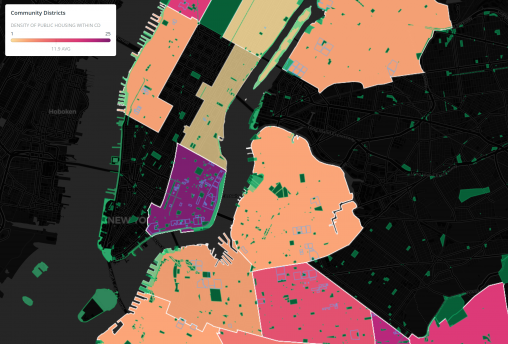
This map, made in Carto, is an exploration of the relationship between public space and public housing in NYC. By examining the area and frequency of these dynamics within Community Districts, I illustrate the stark differences in NYC’s realized development priorities, highlighting impact on a hyperlocal scale in novel ways.