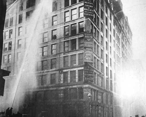
We banded ourselves together, moved by a sense of stricken guilt, to prevent this kind of disaster from ever happening again. Frances Perkins, witness to the Triangle Shirtwaist Factory Fire, U.S. Secretary of Labor (1933-1945), and the first woman appointed to the U.S. Cabinet. INTRODUCTION Can we use geospatial tools to explore the human condition and tragedy? The Triangle Shirtwaist…
Tag: Mapping
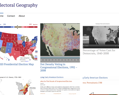
Electoral Geography
https://electoralgeography.home.blog/ Electoral Geography is a practice that has been going on since before the digital age. It is the study of mapping elections: the analysis of the behavior, methods, and results of elections using geographical techniques. Though electoral geography has been going on since the dawn of electronics, with the advent of the internet, it has increasingly become a practice…
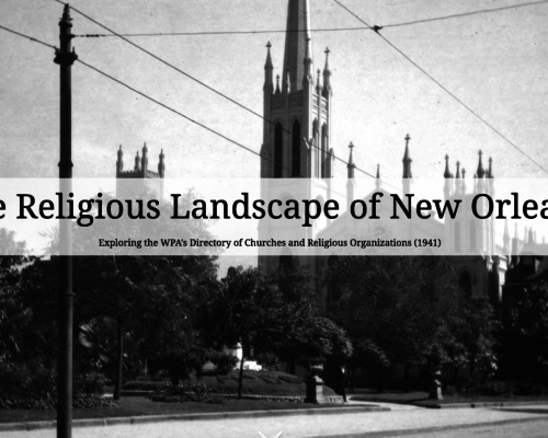
The Religious Landscape of New Orleans: Exploring the WPA’s Directory of Churches and Religious Organizations (1941)
Introduction Religion has played a prominent role in New Orleans life and culture since its French and Spanish colonial beginnings. Today, the city is home to a wide array of religious denominations including Catholicism, Judaism, and various forms of Protestantism. Each of these groups has a rich and interesting history. These histories, in turn, are interwoven with each other across…
Mapping Visualization Tools: Tableau and/or Google My Maps
Click Image above to watch! Enable Closed Captions to view shared links This mapping skill share tutorial aims to: Introduce beginner/intermediate level users to two mapping visualization tools Compare the visualizations created from Tableau and Google My Maps Explain the tool selection process The Circus Historical Society’s vast collection of circus route data has been on my mind for…


