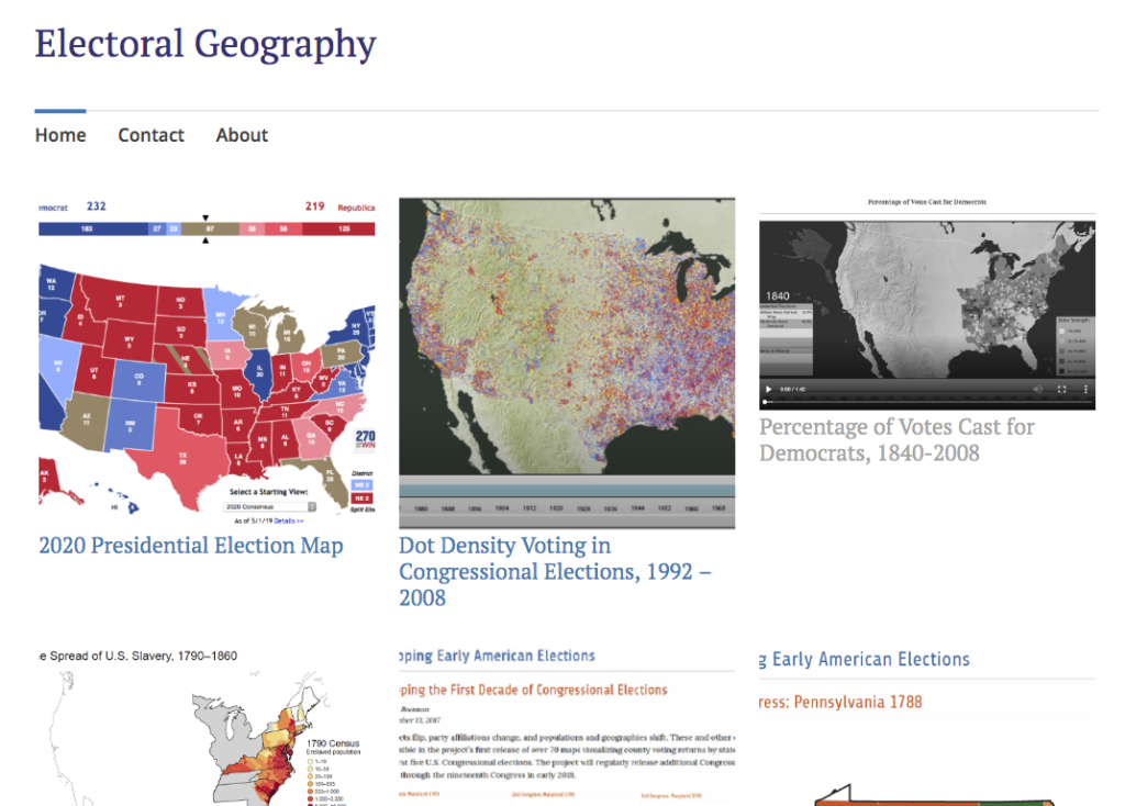
https://electoralgeography.home.blog/
Electoral Geography is a practice that has been going on since before the digital age. It is the study of mapping elections: the analysis of the behavior, methods, and results of elections using geographical techniques. Though electoral geography has been going on since the dawn of electronics, with the advent of the internet, it has increasingly become a practice associated with the digital humanities.
Electoral Geography studies regularities and patterns of election results and can be made overtime or produced live. It can be used to study the election process and results of any type of election, but can also be a way to study demographics and changes over time, such as how voting populations have changed in specific areas or how voters have changed their views on certain issues pertaining to voting.
I have chosen to highlight these specific projects on this blog because they each show a different side of electoral geography. From gathering past data to working with more current data, the process to create these maps changes from immediacy to a data-drive project that is not time sensitive.