Recommended: use the full-screen option (button located in top left corner of map) to browse the map fully.
Project Themes
This mapping project strives to visually communicate the concrete relationship between food and empire that crucially fueled European colonization efforts in the early modern era. It does so by locating the provenance of the ingredients listed in surviving English cookery manuscripts from this time period and placing it in the visual context of the empires actively controlling access to early modern foodways.
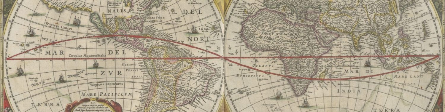
On a narrower scale, this interactive map is designed to reject and replace the two-way-arrow static map model of the Columbian Exchange that, for many students in the United States, is our first engagement in school with newly globalized trade in the early modern era. The “exchange model” serves its users a cheerfully imperialist narrative of this time period, ignoring the robust and often jaw-droppingly vast networks of commerce that spanned continents and oceans for millennia before Europeans established trade networks on the same routes. At the same time, the model’s use of the politely commercial term exchange covers up the centuries-long European implementation of indigenous extinction, land occupations, and resource extraction. Furthermore, the exchange model’s contextless portrayal of foodstuffs as equal in commercial value to animals and technology erases the significance of foodways as motivations, scaffolds, and sites of controversy of expanding empire.
Using the Map
This map offers learners several methods to explore the globalization of early modern foodways. The map displays the ingredients from eight early modern recipes (represented on the map as red-outlined circular icons) located over the territories from which they would have been imported at the time. Users can group ingredients by recipe to see which foodways would have needed to be accessed and which economically dominant powers would have been involved. Users can also highlight territories by empire for a zoomed-out look at how regional food economies shaped the international balance of power, or mouse over territories and ingredient icons to expand information panels, see related links, and navigate to primary sources.
In the map’s current form, only territories occupied in 1700 by an external imperial power extracting natural resources for export to Europe are color-coded as part of the imperial power. As mentioned above, contemporary empires around the world managed expansive intercontinental commercial networks. However, neither the Mapplic tool nor my schedule as a full-time grad student were suited to the amount of historical research, coding expertise, and descriptive bibliography work required to accurately and ethically display this level of complex economic geography. As such, I pared the labeled empires on the map down to those actively supplying (or controlling the supply of) ingredients used in English cookery manuscripts. Considering the same limitations, this map currently also only represents the ingredients that would have been imported for use; cooking staples like flour, butter, eggs, and produce that would have been produced by local makers are not included in this visualization.
For more on using specific features of the map (including icons and color-coding, clickables and mouseovers, search function, information panels, and links and images), see How to Use.
For more about the design decisions that shaped this current iteration, see Documentation. To see more about next steps, see Future Features.
Ready for more? Check out the source materials that made this project possible:
>> Browse All Recipes
>> Browse All Transcriptions
>> Browse All Images
>> The Whitney Cookery Collection at NYPL