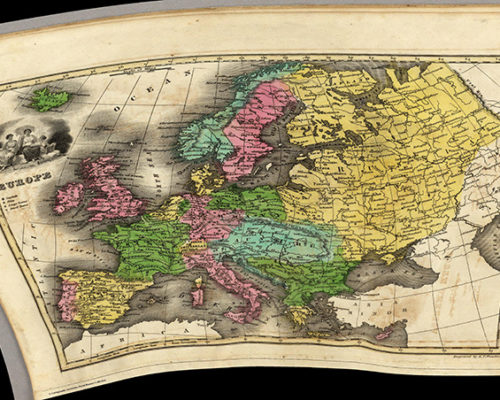
Many digital humanities and cultural heritage projects use mapping techniques to situate and analyze materials in spatial ways. Many of these projects also use freely available tools, such as Google Maps and OpenStreetMap, that plot historical data onto contemporary maps, thereby distorting users’ perceptions of past spatial arrangements, especially shifting geopolitical boundaries over time. Though a few commercial vendors provide…